--help | print the help message and exit. |
--version | print the RST version number and exit. |
-cf cfname | read command line options from the file cfname. |
-wdt width | set the width of the plot to width. |
-hgt height | set the height of the plot to height. |
-pad pad | set the paddding around the edges of the plot to pad. |
-sf scale | set the scale factor (magnification) to scale. The default scale factor is 1. |
-ortho | use an orthographic projection. |
-stereo | use a stereographic projection. |
-gvp | use a general vertical projection. |
-lat lat | center the plot on the latitude given by lat. |
-lon lon | center the plot on the longitude given by lon. |
-latmin latmin | adjust the scale factor so that the lowest visible latitude is latmin. Applies when the stereographic projection is used. |
-mag | use magnetic coordinates. |
-old_aacgm | use older AACGM rather than default AACGM-v2 for magnetic coordinates. |
-rotate | rotate the plot so that the local noon is at the top of the plot. |
-flip | flip the direction of the X-axis. |
-square | force the use of a square bounding box around the plot. |
-coast | plot coastlines. |
-fcoast | plot filled coastlines. |
-bnd | plot state boundaries. |
-grd | plot a grid. |
-tmk | plot a clock-dial grid showing the time. |
-grdontop | plot the grid on top of the image. |
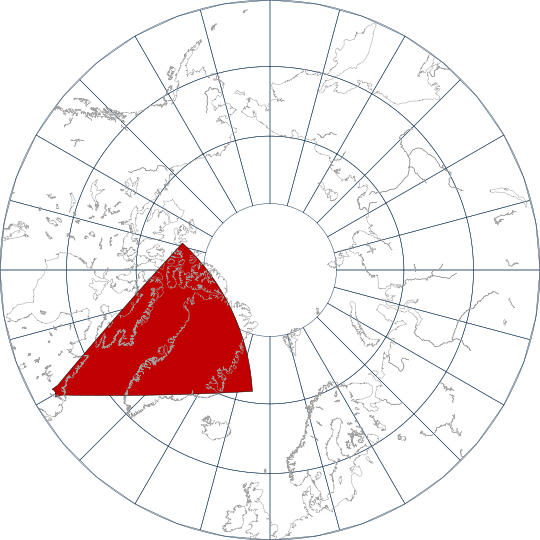
-fov | plot the radar field of view. |
-ffov | plot the filled radar field of view. |
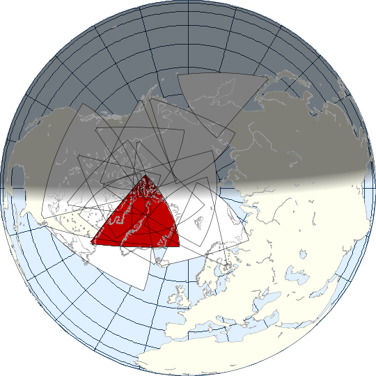
-ofov | plot the field of view of all the other radars. |
-fofov | plot the filled field of view of all the other radars. |
-cfov | plot the field of view of radars under construction. |
-fcfov | plot the filled field of view of radars under construction. |
-dot | Mark the location of the radar site with a dot. |
-dotr radius | set the radius of the dot used to mark the station. |
-tmtick tick | set the grid interval for the time clock-dial to tick hours. |
-lst | use local solar time rather than local time. |
-term | plot the terminator. |
-fterm | plot a shaded terminator. |
-tmlbl | Label the time clock-dial. |
-fontname fontname | plot any labels using the font fontname. |
-fontsize fontsize | set the font size to fontsize points. |
-lnewdt lnewdt | set the line width to lnewdt. |
-bgcol aarrggbb | set the background color to aarrggbb, specified as the hexadecimal value for the 32-bit alpha,red,green and blue component color. |
-txtcol aarrggbb | set the color of the text to aarrggbb, specified as the hexadecimal value for the 32-bit alpha,red,green and blue component color. |
-grdcol aarrggbb | set the color of the grid to aarrggbb, specified as the hexadecimal value for the 32-bit alpha,red,green and blue component color. |
-cstcol aarrggbb | set the color of the coastline to aarrggbb, specified as the hexadecimal value for the 32-bit alpha,red,green and blue component color. |
-bndcol aarrggbb | set the color of the state boundaries to aarrggbb, specified as the hexadecimal value for the 32-bit alpha,red,green and blue component color. |
-lndcol aarrggbb | set the color of the land to aarrggbb, specified as the hexadecimal value for the 32-bit alpha,red,green and blue component color. |
-seacol aarrggbb | set the color of the sea to aarrggbb, specified as the hexadecimal value for the 32-bit alpha,red,green and blue component color. |
-trmcol aarrggbb | set the color of the terminator outline to aarrggbb, specified as the hexadecimal value for the 32-bit alpha,red,green and blue component color. |
-ftrmcol aarrggbb | set the color of the filled terminator to aarrggbb, specified as the hexadecimal value for the 32-bit alpha,red,green and blue component color. |
-tmkcol aarrggbb | set the color of the time clock-dial to aarrggbb, specified as the hexadecimal value for the 32-bit alpha,red,green and blue component color. |
-fovcol aarrggbb | set the color of the field of view outline to aarrggbb, specified as the hexadecimal value for the 32-bit alpha,red,green and blue component color. |
-ffovcol aarrggbb | set the color of the filled field of view to aarrggbb, specified as the hexadecimal value for the 32-bit alpha,red,green and blue component color. |
-ofovcol aarrggbb | set the color of the field of view outline of other radars to aarrggbb, specified as the hexadecimal value for the 32-bit alpha,red,green and blue component color. |
-fofovcol aarrggbb | set the color of the filled field of view of other radars to aarrggbb, specified as the hexadecimal value for the 32-bit alpha,red,green and blue component color. |
-cfovcol aarrggbb | set the color of the field of view outline of radars under construction to aarrggbb, specified as the hexadecimal value for the 32-bit alpha,red,green and blue component color. |
-fcfovcol aarrggbb | set the color of the filled field of view of radars under construction to aarrggbb, specified as the hexadecimal value for the 32-bit alpha,red,green and blue component color. |
-d yyyymmdd | plot for the date yyyymmdd. |
-t hr:mn | plot for the time hr:mn. |
-st stid... | plot the fields of view for the radars listed in stid which is a comma separated list of station identifier codes. |
-png | produce a Portable Network Graphics (PNG) image as the output. |
-ps | produce a PostScript plot as the output. |
-xp xoff | set the X offset of the PostScript plot to xoff. |
-yp xoff | set the Y offset of the PostScript plot to yoff. |
-ppm | produce a Portable PixMap (PPM) image as the output. |
-ppmx | produce an extended Portable PixMap (PPMX) image as the output. |
-xml | produce an XML image representation as the output. |
-x | plot on an X-terminal. |
-display display | connect to the xterminal named display. |
-xoff xoff | open the window, xoff pixels from the left edge of the screen. |
-yoff yoff | open the window ypad pixels from the top edge of the screen. |
-time | plot the date and time of the plotted field of view. |
-chisham | use the Chisham virtual height model. |

